Lightning Mapping Imager (LMI)
Description
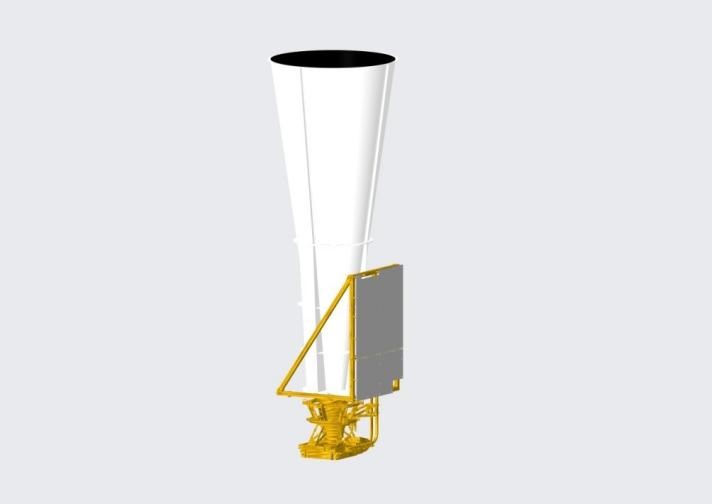
One of the first two lightning mappers for geostationary meteorological satellite in the world, and the Chinese first ever made instrument such as this. Technically featured by planar CCD array and optic imaging sector, to keep track of thunderstorm development by detecting and mapping the lightning events occurring in a cloud, cloud-cloud, or cloud-ground within the observation area. For service to aviation, railway, power supply company, as well as strong convective weather monitoring.
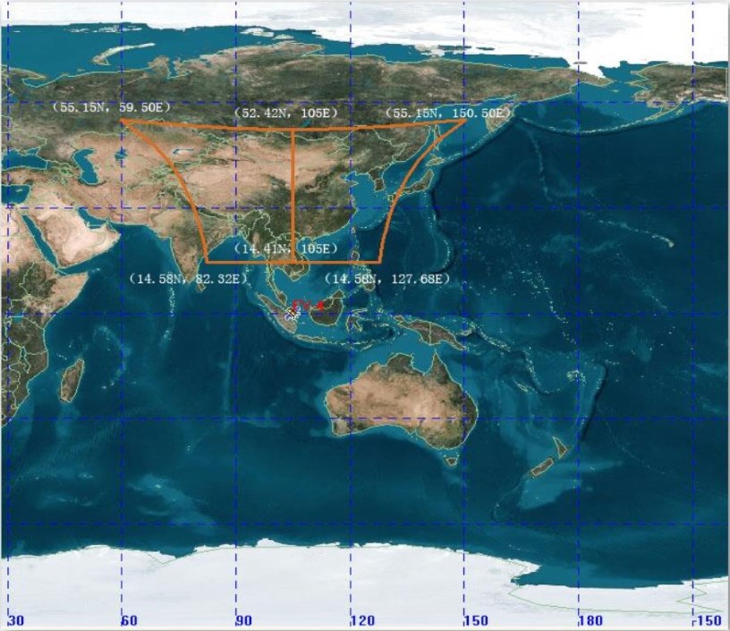
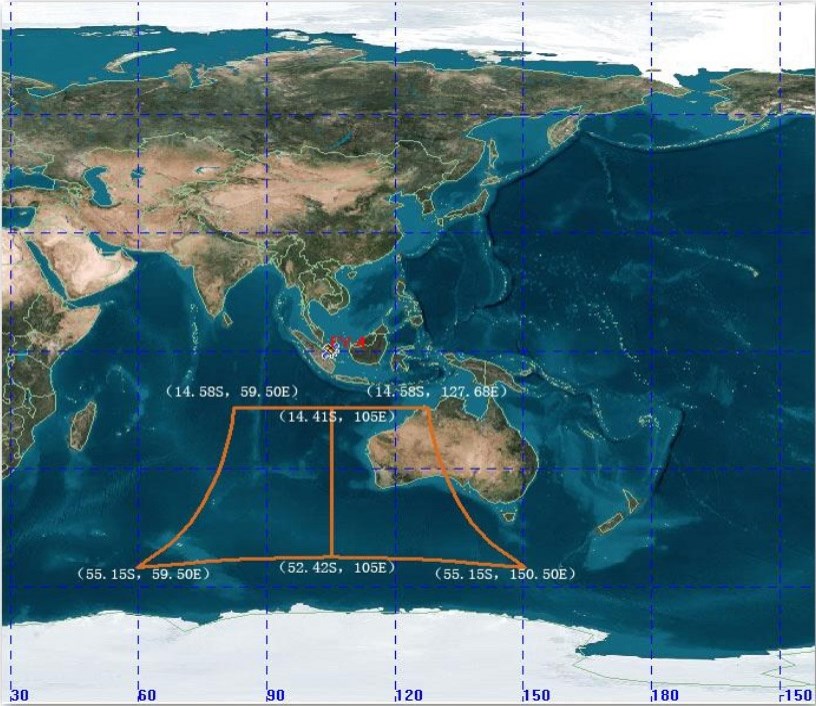
LMI on FY-4A looks at China area in spring-autumn seasons, and at Indian ocean and west Australia the rest of a year. LMI on FY-4C observes in full disk mode.
| Satellite | FY-4A | FY-4C |
|---|---|---|
| Weight | 65kg | |
| Dimension | 528mm (length) × 346mm (width) × 1032mm (height) | |
| CCD | 400 × 600 units | |
| Image rate | 500 frames per second | |
| Central wave-length | 777.4nm | |
| Bandwidth | 1nm | 2nm |
| Spatial Resolution | 7.8km | 7.8km |
| Total field angle | 4.98° (latitudinal) × 7.41° (longitudal) | |
| Detection efficiency | 90% | daytime 70%, nighttime 90% |
| False alarm rate | 10% | daytime <20%, nighttime <10% |
Data and Products
| Satellite | Instrument | Datasets |
|---|---|---|
| FY-4A | LMI | Search |


